WIND
2
RIDE
Free Beta — while I've got the time and budget.
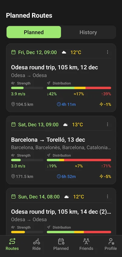
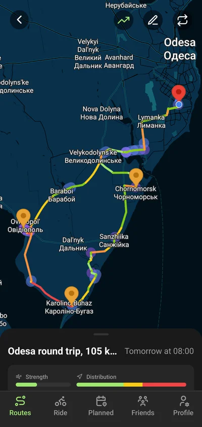
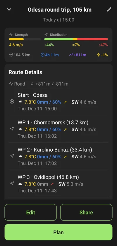
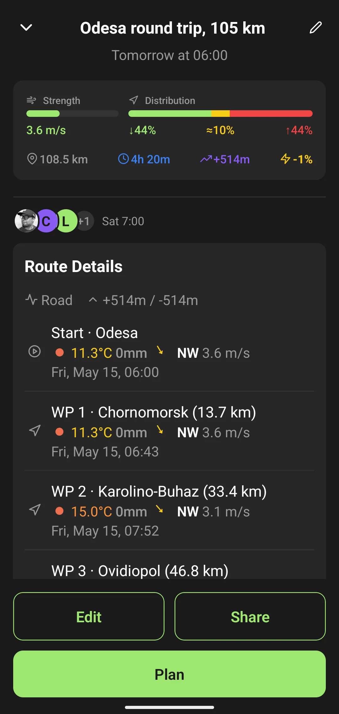
Create a wind-smart route.
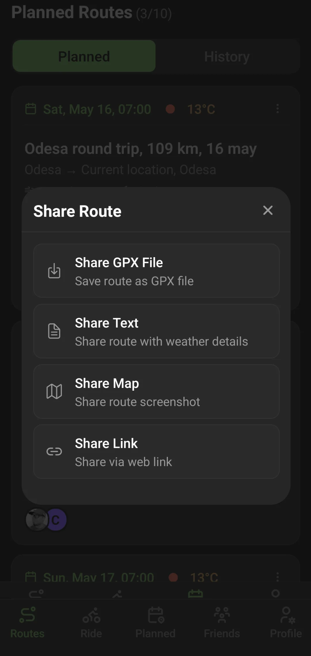
Share it.
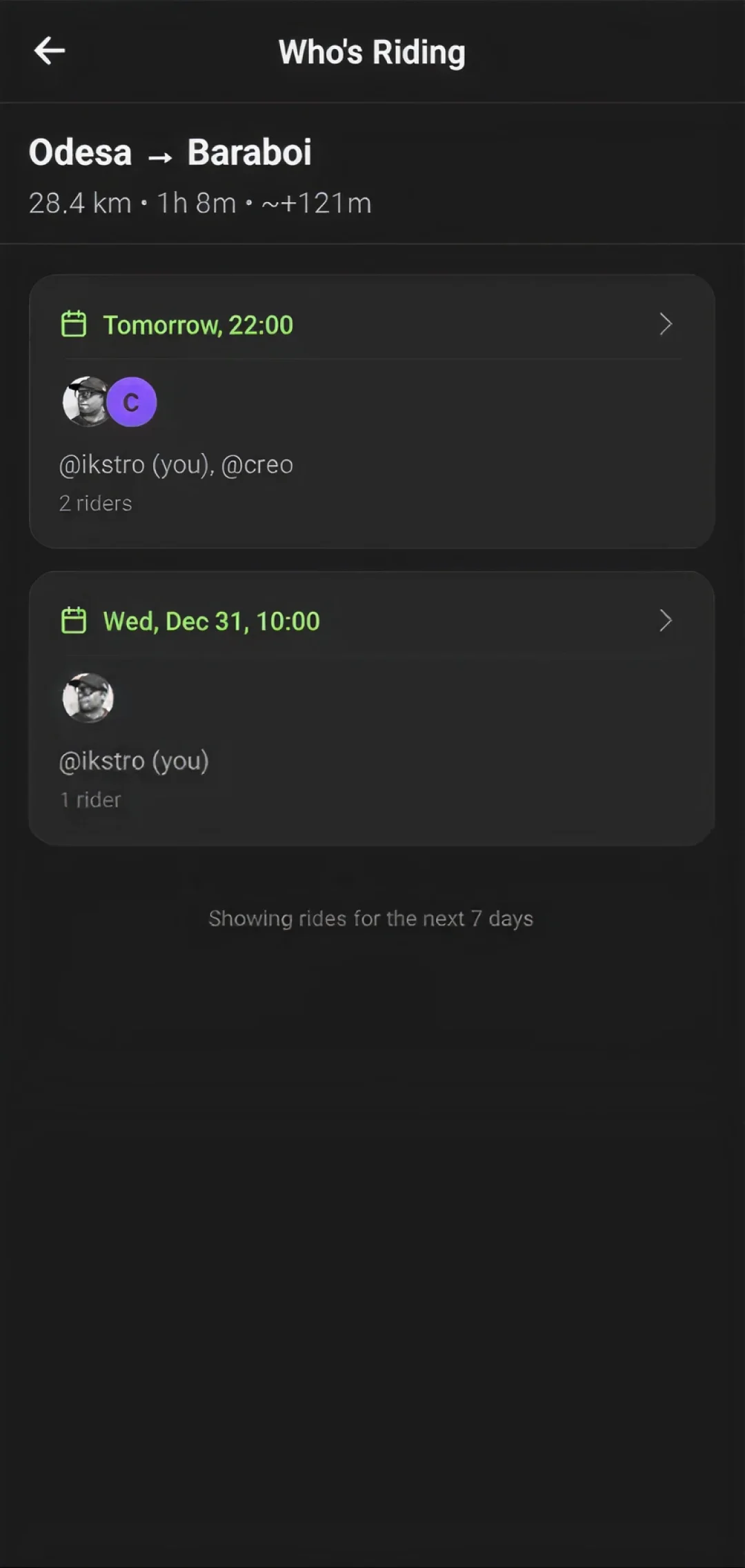
See who's riding.
A cycling app to create routes with the wind in mind, share them with friends, and see who's planning to ride.
Get Beta (Google Play)
Join Telegram
Free access to all features during beta. Android only for now — iOS later.